31780: STIOMRABHAIGH, LEWIS – TOWN (Undated)
Summary:
TOWN (Undated)
Centred on NB 346 116
Location:
NB 346 116
Full description:
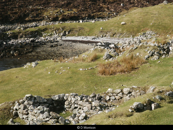
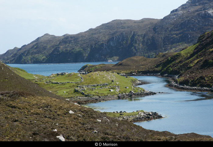
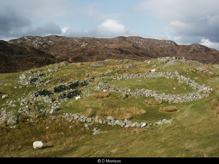
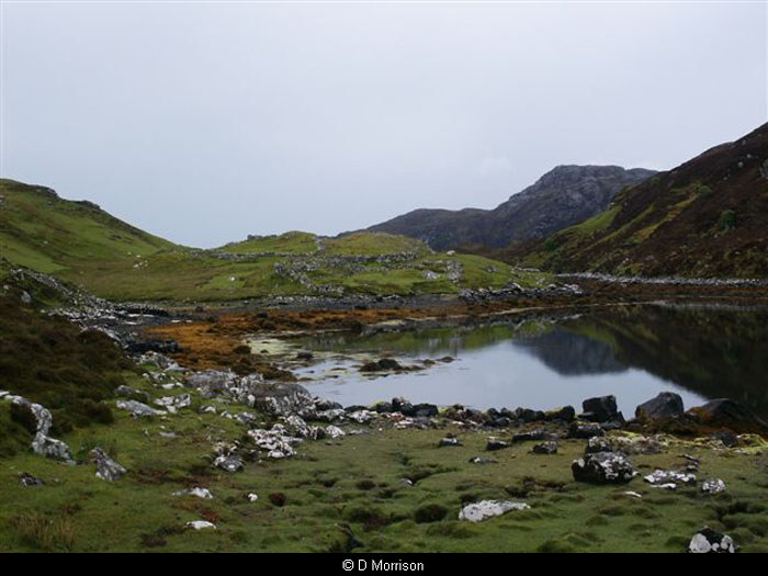
NB31SW 11 centred on 346 116
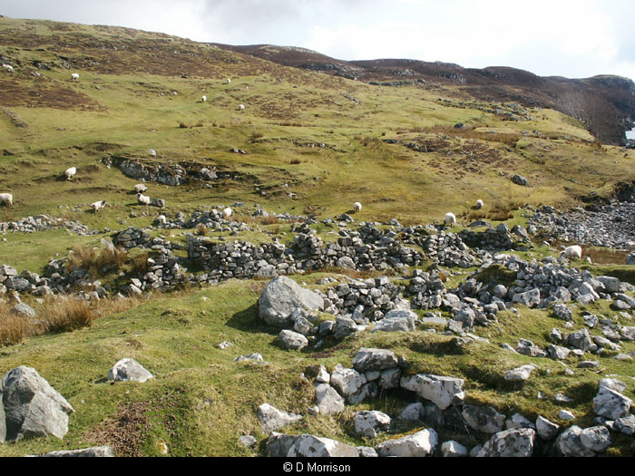
A township comprising one unroofed, twenty roofed buildings and five enclosures is depicted on the 1st edition of the OS 6-inch map (Ross-shire, Island of Lewis 1855, sheet 42). Fourteen unroofed buildings and four enclosures are shown on the current edition of the OS 1:10000 map (1972).
Information from RCAHMS (SAH) 27 June 1997
Acknowledgement:
Information provided by Western Isles Council Sites & Monuments Record, January 2006.
Record Location
Details
- Record Type:
- Historical or Archaeological Site
- Type Of Site:
- Town/Village
- SMRRecord ID:
- MWE134017
- Record Maintained by:
- CEP
Related Media
Ruins at Steimreway
Steimreway
Steimreway
Steimreway
Steimreway
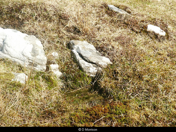
Well at Steimreway