32285: KNOCK DIBICK, VUIA MOR – TOWN (Undated)
Summary:
TOWN (Undated)
Location:
NB 1320 3507
Full description:
NB03NE 34 1320 3507
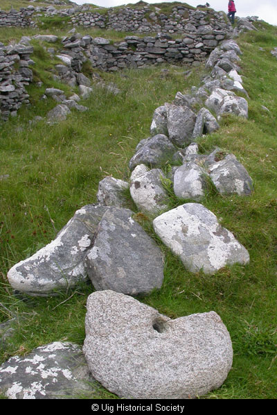
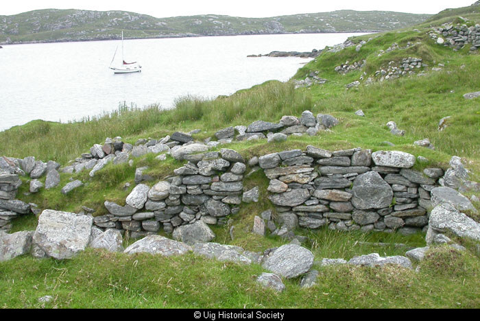
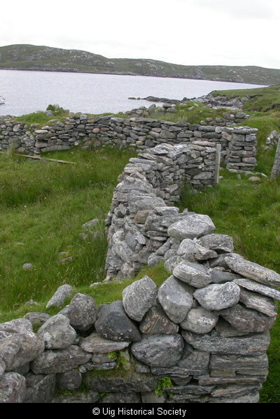
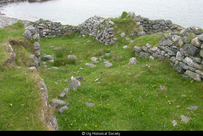
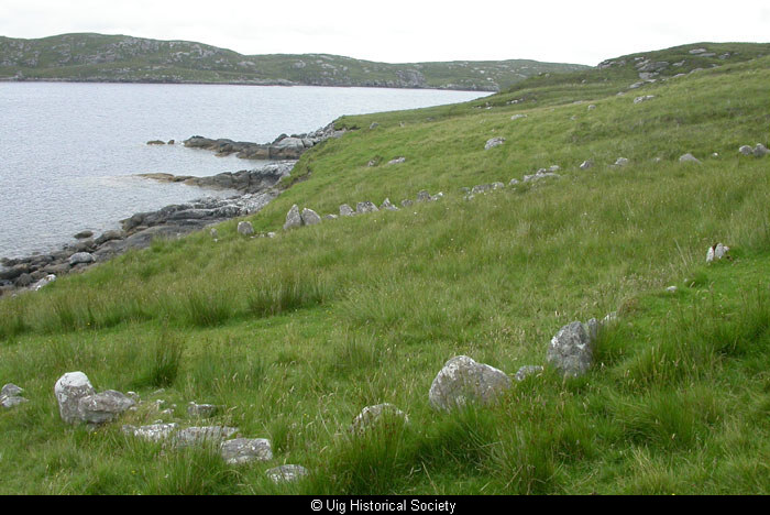
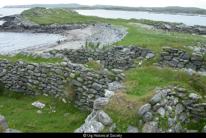
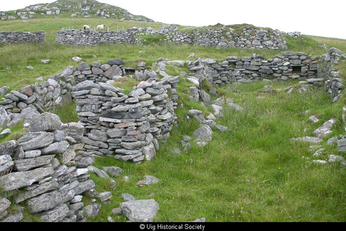
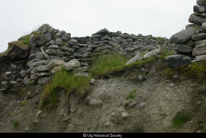
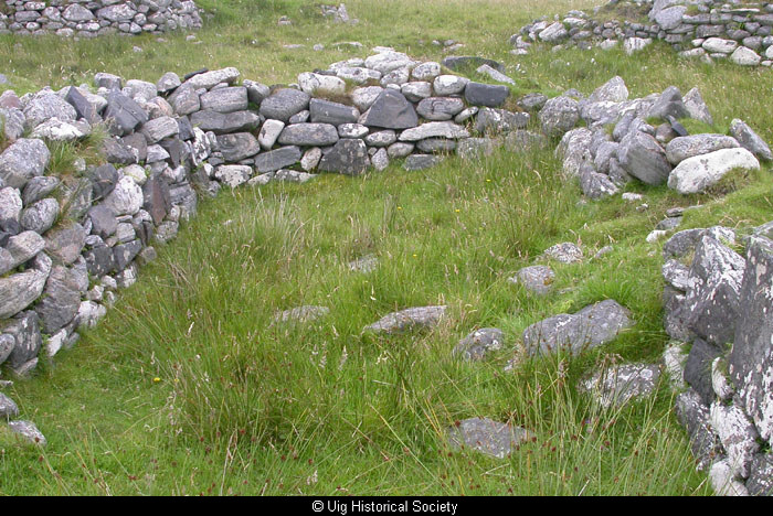
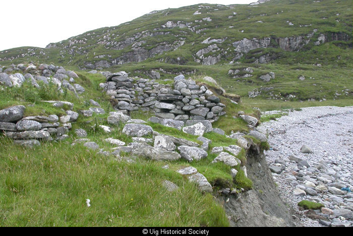
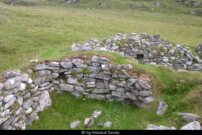
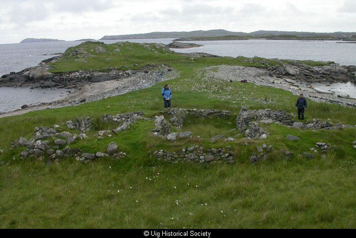
A township, comprising seven roofed buildings, two of which are annotated as ruins, one unroofed building and two enclosures is depicted on the 1st edition of the OS 6-inch map (Island of Lewis, Ross-shire 1854, sheet 17). Six unroofed buildings and four enclosures are shown on the current edition of the OS 1:10000 map (1974).
Information from RCAHMS (AKK) 19 September 1997.
Acknowledgement:
Information provided by Western Isles Council Sites & Monuments Record, January 2006.
Further information from Comunn Eachdraidh Uig:
The settlement was last occupied c1841, by seven families, and was cleared shortly thereafter. In 2006 the ruins are still substantial, with some walls evidently maintained for corralling sheep, and a concrete sheep dip has been built in one of the blackhouse. The sea is eroding the ground above the beach and the end walls of some of the houses have fallen to the beach below.
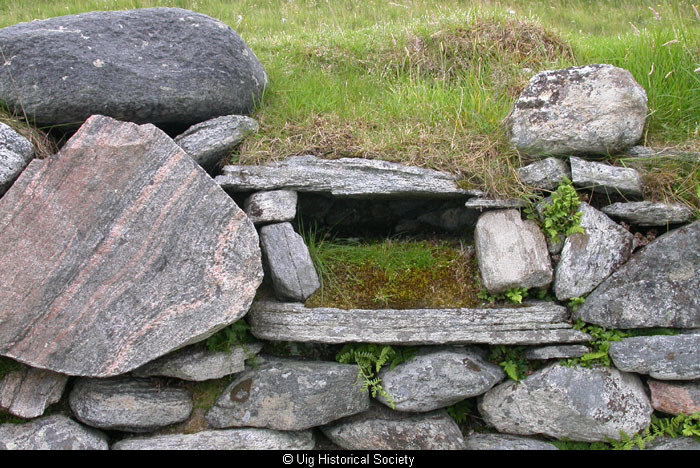
Two wells are still in evidence, both very near the buildings. A kiln is situated on the point Rubha na h-Athadh.
Record Location
Details
- Record Type:
- Historical or Archaeological Site
- Type Of Site:
- Town/Village
- SMRRecord ID:
- MWE132256
- Record Maintained by:
- CEU
Related Media
Ruins at Vuia Mhor
Ruins at Vuia Mhor
Ruins at Vuia Mhor
Ruins at Vuia Mhor
Ruins at Vuia Mhor
Ruins at Vuia Mhor
Ruins at Vuia Mhor
Ruins at Vuia Mhor
Ruins at Vuia Mhor
Ruins at Vuia Mhor
Ruins at Vuia Mhor
Ruins at Vuia Mhor
Ruins at Vuia Mhor