3217: Carnish, Lewis
According to D Maciver in his Place-names of Lewis and Harris, the name Carnish is from the Norse kvern-nes, meaning ‘promontory of the querns’ (ie hand mills).
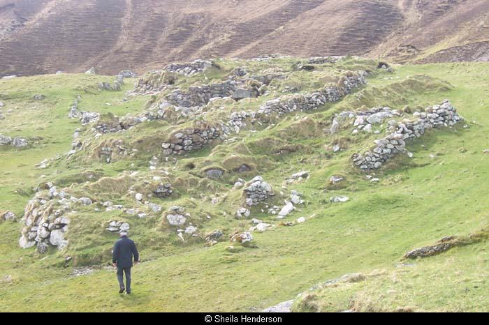
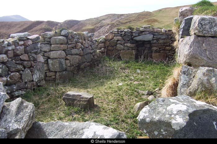
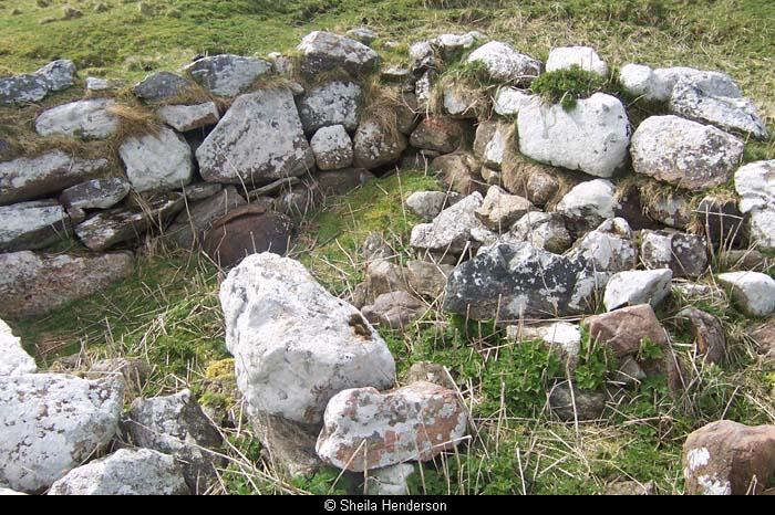
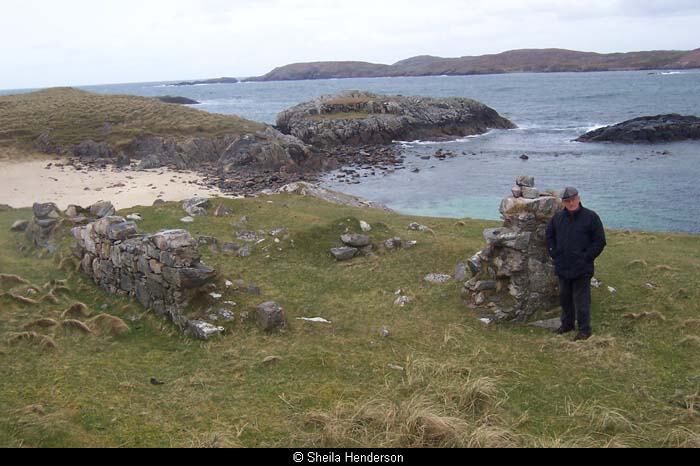
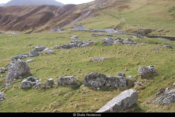
There is evidence of prehistoric habitation on the promontory, in the form of enclosures and settlement remains. At the far end a rocky prow is known as Dun Gormsuil; early archaeological surveys suggested that there was no evidence of an actual dun or fort on this spot but recent opinion revives the idea.
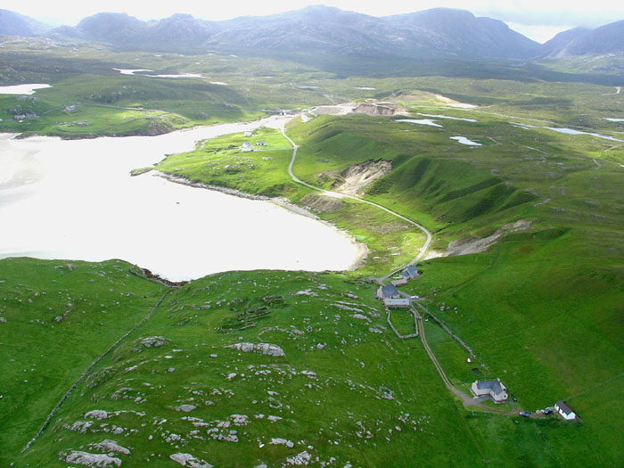
Carnish was a substantial village situated on a low promontory at the south end of Uig Sands. In the 18th century Carnish was leased to a tacksman, sometimes with Ardroil sometimes separately. It included a large tract of moorland on Loch Hamnaway, used for pasture in the summer, sheilings and apparently also hay, which was brought by boat to Carnish.
By 1807 the tacksman has disappeared and Carnish and Ceann Chuisil (the moor) are leased directly to 13 small tenants. In 1819 there are 16 households in Carnish and one bothy (for paupers). In 1819 the population of Carnish was 72 over the age of 12.
Between 1809 and 1819 there was a change in the population as new people with surnames not known before moved in, likely as a result of the beginning of the proprietor and his farmers taking an interest in larger-scale farming, which disrupted settlement patterns and introduced new people to the area.
The village was largely centred on high ground in the middle of the promontory. The population in 1841 was 140, and they had a shop, and a school situated midway between Carnish and Mangersta (the school master was Calum Morrison).
The inhabitants were cleared in the early 1850s to make way for sheep as the land was added to the adjoining Ardroil Farm. By 1851 the population was 105 and at least two of the families resident in 1851 went to Canada shortly thereafter. By 1861, the village had been completely cleared.
The rent from the crofters in the 1840s was 75, and in the 1850s only 55, suggesting that the proprietor’s aims were for long-term improvement, and not simply born of a desire to increase the rent.
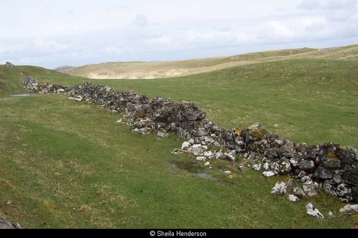
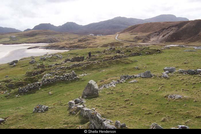
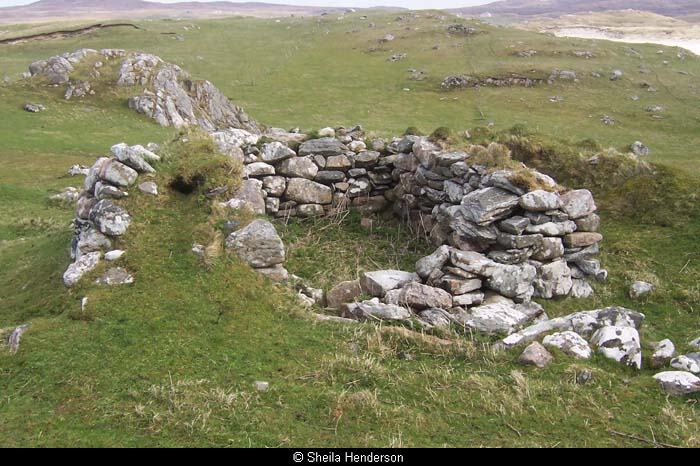
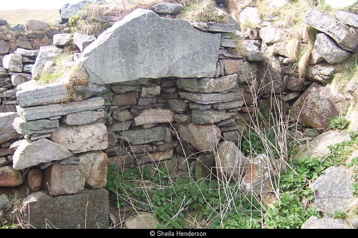
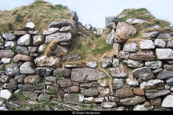
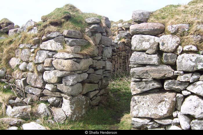
A substantial cluster of blackhouses, bothies and enclosures remain on the site – see photographs below. The village was relotted in 1921 (it was in any case without a farm tenant at the time) with six crofts on 288 acres, with a further common grazing shared with Ardroil.
There are the remains of a fishing station on the shore, indicating the importance of fishing to the village at one time, but now industrial activity centres on a gravel quarry near the main road, taking advantage of the deep esker that lies behind the village.
See also this article about Carnish Pier.
Carnish should not be confused with Carinish in North Uist.
Record Location
Details
- Record Type:
- Location
- Type Of Location:
- Village/Township
- Record Maintained by:
- CEU
Related Media

Carnish
Carnish
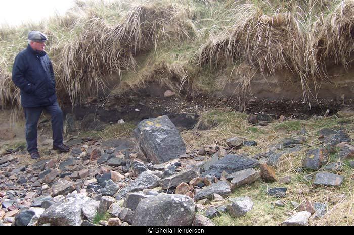
Ruins at Carnish, Uig
Ruins at Carnish, Uig
Ruins at Carnish, Uig
Ruins at Carnish, Uig
Ruins at Carnish, Uig
Ruins at Carnish, Uig
Ruins at Carnish, Uig
Ruins at Carnish, Uig
Ruins at Carnish, Uig
Ruins at Carnish, Uig
Ruins at Carnish, Uig
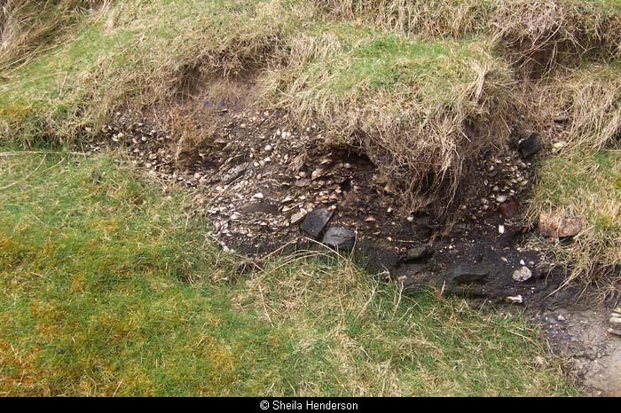
Shell midden at Carnish
Shell midden at Carnish