36280: Bearasay, Lewis
Beirrasaigh is berg, a rock; ay, island.
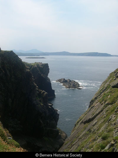
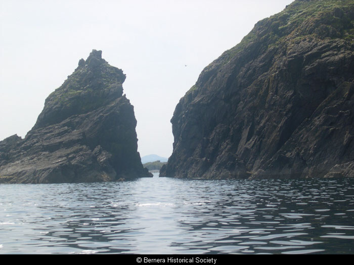
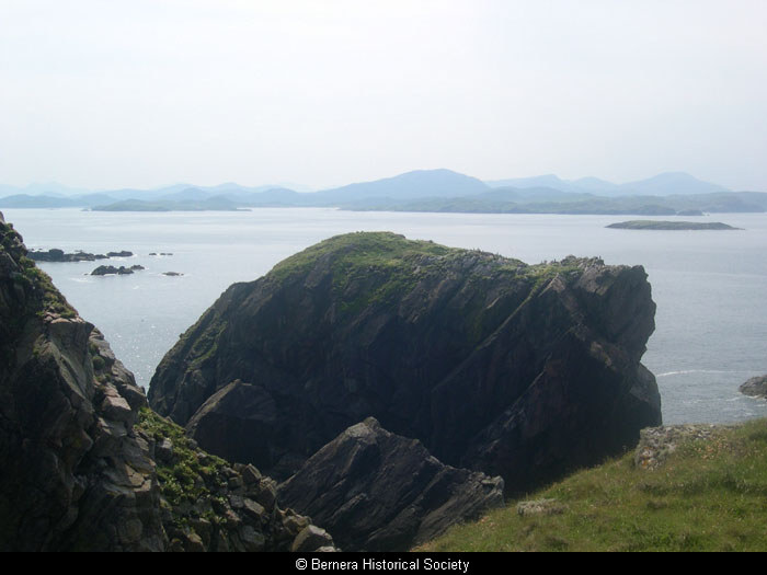
Bearasay is a small island north-east of Great Bernera, situated between Old Hill and Floday. In the early 1600s it was used by Neil Macleod and over twenty companions as a fortress in a three years’ seige of the Mackenzies. The island gives superb views of Bosta, West Uig and the many islands of Loch Roag, offering advance notice of approaching vessels to any inhabitant.
The remains of buildings, assumed to be from this period, can been seen on flat ground at the top of the island, along with a purported man-made rainwater loch (drinking water may have been scarce in dry weather) and the vestiges of circular structures which may be much earlier in date. There is no evidence of cultivation or field systems on the island but tradition maintains that Neil Macleod took rustled cattle to the island. Access was difficult, up steep rock slopes, but the remains of a wall at the top of a slope on the northern side suggest that a path may have once been constructed.
The island has since been grazed by Bernera sheep, though the practice has now been discontinued.
Record Location
Details
- Record Type:
- Location
- Also Known As:
- Berisay; Berasie
- Type Of Location:
- Island
- Record Maintained by:
- CEBL
Related Media
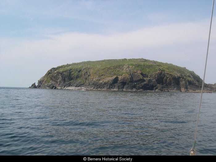
Bearasay island
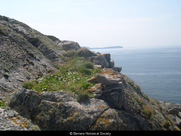
Cliff path on Bearasay
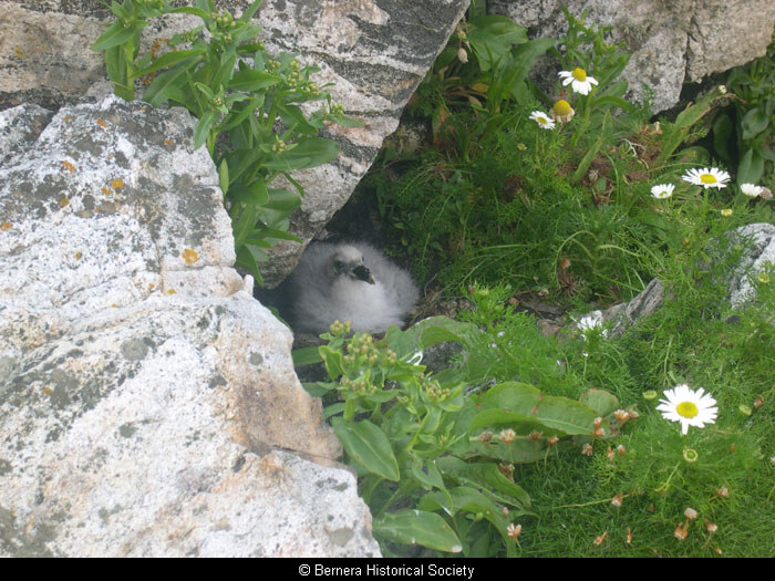
Fulmar chick on Berisay
Geodha Mor an Acarsaid
Muileann Shiucair
Stac an Tuill
View from Bearasay