32201: DUN CROMORE, LOCH CROMORE, LEWIS
Summary:
BROCH (Late Iron Age to Post-Roman Iron Age – 100 BC to 800 AD)
CRANNOG? (Late Iron Age to Post-Roman Iron Age – 100 BC to 800 AD)
Island dun/broch
Location:
NB 40124 20698
Full description:
NB42SW 2 4011 2068.
(NB 401 206) Dun Cromore (NR)
OS 6″map, Ross-shire, 2nd ed., (1899)
Dun Ban, Cromore – plan and elevations.
F W L Thomas 1890.
Dun Cromore.
RCAHMS 1928, visited 1921.
Dun Cromore is an oval galleried dun, situated 50 yards from the west side of Loch Cromore.
The interior measures 52ft by 44ft within a wall containing cells and a gallery, the latter reported to have had a stair within it which led up to a third gallery, passing by a second. All these upper works have now been destroyed. An arc of walling forms a courtyard outside the entrance, to the NW.
R W Feachem 1963.
Dun Cromore, at NB 4011 2068, is as described by Feachem and planned by the RCAHMS. There is a submerged causeway from the dun to the west shore of the loch.
Visited by OS (N K B) 23 June 1969.
To … the owners of the Monument known as ‘Dun Cromore’ (broch) situated on tan island in Loch Cromore, near Loch Erisort, Lewis, at the south entrance to the neck or narrowest part of siad Loch near its north end, said Dun Cromore being approximately 50 yards east-south-east of a promontory on the west shore at its nearest point and connected with said point by a submerged causeway with said causeway,
being the subjects indicated in red colour on the annexed plan and being part of the property known as Cromore Crofting Township …
the Commissioners … give you notice that it is their intention to include the Monument above specified in a list of monuments…
Schedule 16.2.34
The Dun is situated on a small island connected on the east side to mainland by a submerged staggered causeway. The structure is circular 4-5 metres in diameter standing to a height of about 3 metres. The interior is filled to almost wall height with topsoil, vegetation and collapsed internal subdivisions. The wall (sic) are very heavily encrusted with lichen but this should not be detrimental due to the igneous (sic) nature of the stone. The stonework is tight and well jointed, being dry built from stones split to rough blocks and stabilised with pinnings. On the NE there is evidence, by lesser lichen growth, of an area of re-consolidation.
Little is needed in terms of new consolidation; there is a small area of unstable stonework on the lower SW flank, and some loose areas at wall head level probably where it has been disturbed by visitors.
HS Architect’s Report, 24.11.95
“Complex Atlantic Round House located on a man made? island close to the western shore of Loch Cromore. The remains of this island dun or broch stand up to two metres high on the east side. There is no sign of a visible causeway though the loch level is maintained at an artificially high level. There are signs of a number of submerged structures around the west and north sides of the site that may represent extramural buildings or possibly docks for small boats.” (Burgess 2004, 125)
References:
A guide to prehistoric Scotland, Publisher: B T Batsford, A Guide to Prehistoric Scotland. 182
Thomas, F. W. L.. 1890. ‘On the duns of the Outer Hebrides’, Archaeol Scot. Part No 5. 380-2
RCAHMCS. 1928. The Royal Commission on the Ancient and Historical Monuments and Constructions of Scotland. Ninth report with inventory of monuments and constructions in the Outer Hebrides, Skye and the Small Isles, Publisher: HMSO The RCAHMS 9th Report and Inventory: Outer Hebrides, Skye and the Small Isles. 11, No. 38
Chris Burgess, Northamptonshire Archaeology. 2004. Northamptonshire Archaeology Archaeological Survey and Evaluation of Eilean Chalium Chille and the Putative Site of the Seaforth Head Castle. Part No Loch Seaforth Head Gazeteer.
Acknowledgement:
Information provided by Western Isles Council Sites & Monuments Record, January 2006.
Record Location
Details
- Record Type:
- Historical or Archaeological Site
- Type Of Site:
- Broch; Crannog
- Period:
- Iron Age (post-Roman) (401-800 AD); Iron Age (pre-Roman) (800-0 BC); Iron Age (Roman) (1-400 AD)
- SMRRecord ID:
- MWE4292
- Record Maintained by:
- CEP
Related Media
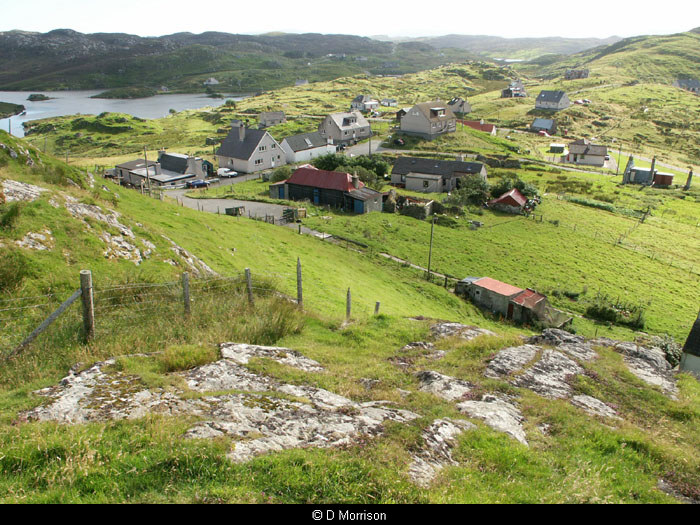
Cromore