33076: GIL NA MUILNE – STRUCTURE (Undated), SITE (Undated)
Summary:
STRUCTURE (Undated)
SITE (Undated)
Sub-rectangular structure
Location:
NB 0967 3597
Full description:
no. 44
This is a structure of internal dimensions c. 6m east-west by 2.5m It has an eantrance in the north-east corner. Its inner facing is of stone, with a poor stone outer face standing up to 1.2m high, but its core appears to be of turf. The structure has markedly rounded internal corners. The base of the internal face is of orthostats with stone coursing above. The orthostats on the west wall appear to be founded considerably higher in absolute terms than those on the east, suggesting possibly a re-facing. This re-facing may correspond to the heightening of the external wall with looser frubble.
This structure is marked on the 2nd edition Ordnance Survey map for the area, though not on the earlier edition. Its general construction and condition however give it the appearance of an earlier date than the late nineteenth century and it is possible that it was the partial rebuilding and re-use of the structure which led to its inclusion on the map rather than its original construction.
Armit 1992, 60
References:
Ian Armit. 1992. CFA, University of Edinburgh Archaeological Field Survey of the Bhaltos (Valtos) Peninsula, Lewis.
1994. ‘Archaeological field survey of the Bhaltos (Valtos) peninsula, Lewis’, Proc Soc Antiq Scot. Part No 124. No.44, 85
Acknowledgement:
Information provided by Western Isles Council Sites & Monuments Record, January 2006.
Record Location
Details
- Record Type:
- Historical or Archaeological Site
- Type Of Site:
- Structure; Site
- SMRRecord ID:
- MWE72736
- Record Maintained by:
- CEU
Related Media
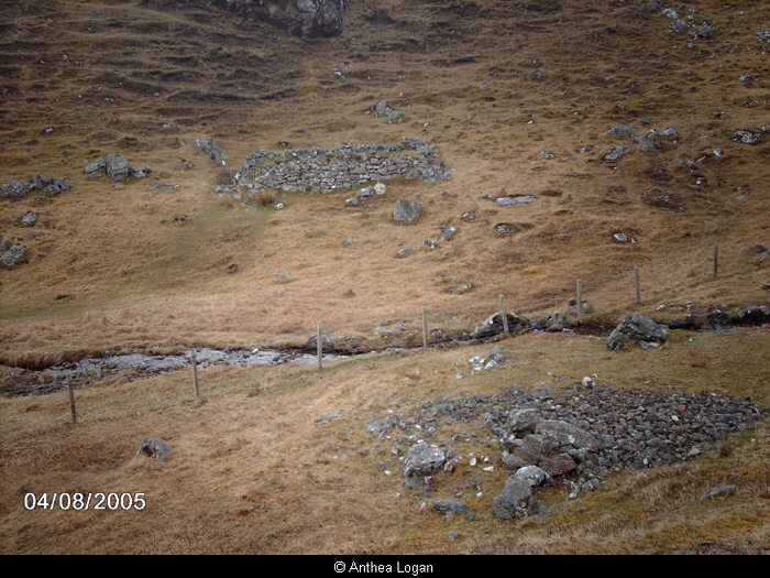
Structures at Gil na Muilne
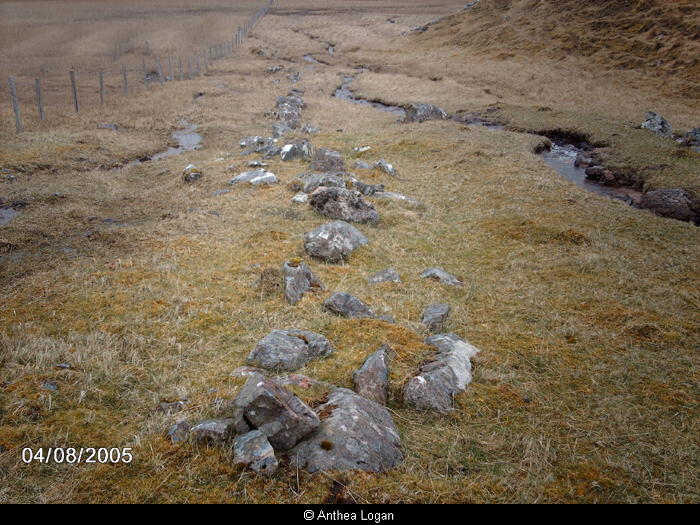
Wall at Gil na Muilne